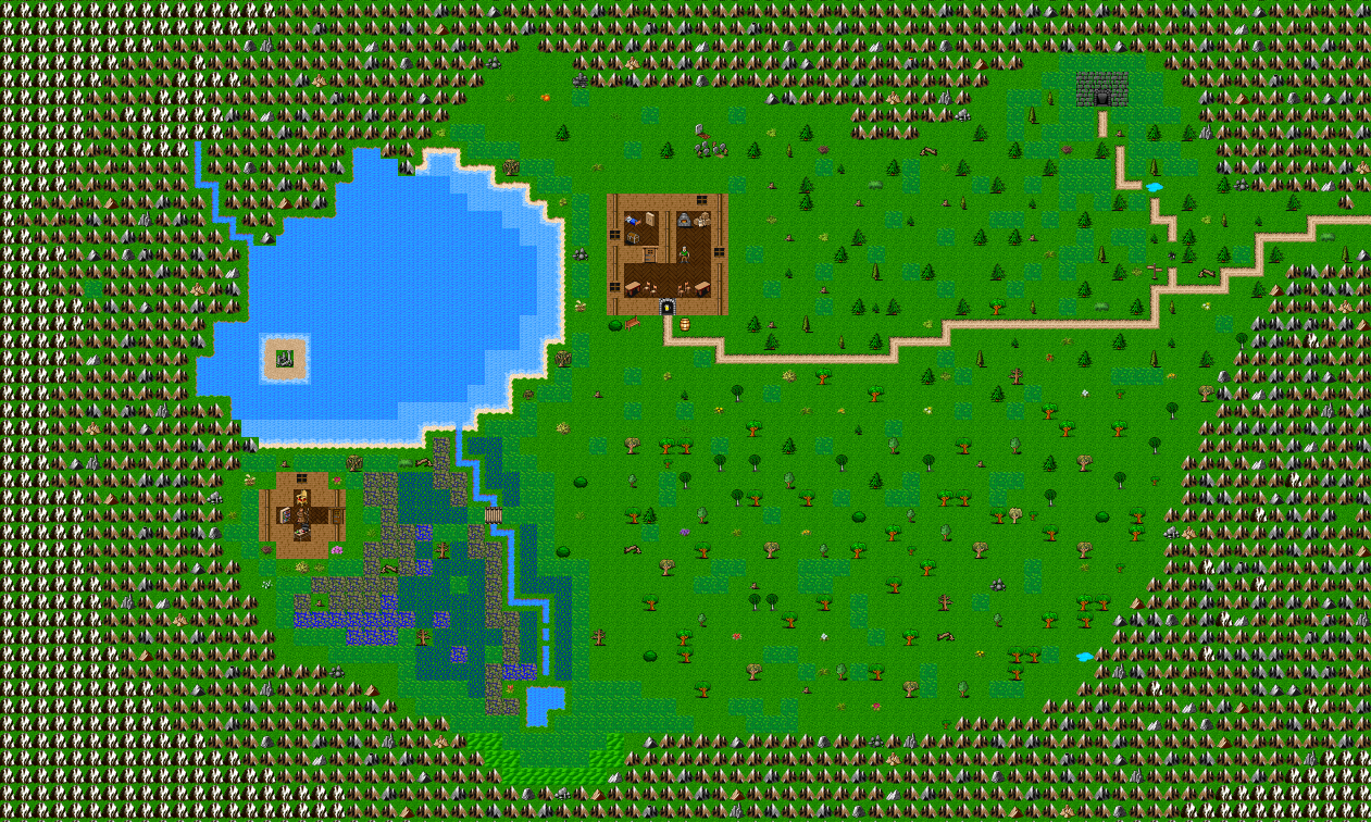
Work status: right now I’m creating new habitants of wilderness – animals and birds. Also all townies and NPC on daylight surface would have new lvl scaling – so each town would have it’s own special dwellers.
After I’ll finish with NPCs (at least just a couple of them), I’ll come back to creating new locations.
Gamedev process in my instagram – scroll photos to the right by arrow to see from 1 to 9:
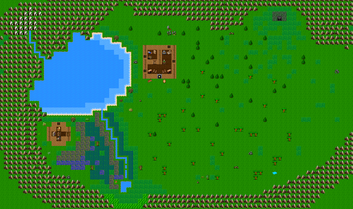
I’ve made this pictures several weeks ago; they illustrated the idea about custom towns/locations and show how locations could be connected. Also I’ve thought about first location 🙂
I’m on travel atm and had @#$% connection for several days. Now it’s become better, but I got ancient notebook which can’t handle my .PSD file.. Anyway, today I’ve managed to finish port to Tiled, so tomorrow I’ll start drawing first location! It’s starting!
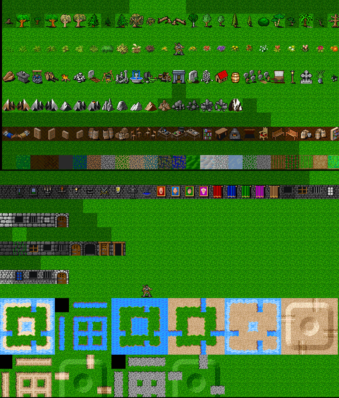
I’ve finished first version of my tileset which is based at beautiful David Gervais artwork.
This tileset made for Tangaria, which is powered by PWMAngband. If you would do some tweaking – this tileset could be used with most of *bands.
Package includes .PSD file with hex codes for mapping stuff, so it’s much easier to work with it. Also it includes tileset files and following PWMA files:
town_test.txt – start location with all terrain objects, useful for testing
terrain.txt – list of all terrains with properties
town_feat.txt – list of objects which could be used in towns
wild_info.txt – world map with town in center (all other is water)
town.txt – town list
town_empty.txt – empty town
LICENCE:
If you wish to use this tileset or artwork from it – please mention in your credits following names: (list of names constantly updating and enlisted there: Downloads section)
I’ll continue maintaining this tileset, so there would be new versions!
Recently we had 255 limit problem. Now it’s fixed in 1.3.0 beta 0!
@Powerwyrm:
– Allow more than 255 terrain types – Fix some spell level errors
Considering 255 problem:
The reason is obvious: the terrain “floor d hills” is exactly number 256 in the f_info feature array. This means there is somewhere where feature is coded on a “byte” and doesn’t allow more than 255 terrain types. And I found the culprit: